South DakotaDepartment of Transportation
Transportation
Aviation
About Office of Aeronautics Services
Office of Aeronautics Services
Airports Conference
Aerospace Education
Airport Information
Links
Aviation Systems Plan
Bridges
Office of Bridge Design
Design & Plans
Historical Bridges
Inventory & Inspection
Posted Structures
Reference Information
SD Bridge Photos
Doing Business
Certification & Accreditation
About Certification & Accreditation
SDDOT Accreditation Certification List
Approved Products
Manuals & Documents
Welding Certifications
Training
Contractors
Bid Letting Information
Concrete Pipe Release
Contractors/Suppliers
Prequalified Contractors
CMS Web Reports
Disadvantaged Business Enterprise (DBE)
Fuel Price Index
Labor Compliance
Materials
Preconstruction Meetings
Price Adjustment Guidelines
Standard Specifications
Subcontract Requirements
Forms & Documents
Webinars
Alternative Contracting
Engineering/Design Services
Consultant Services
Downloadable Files
Manuals
News & Updates
Right of Way / Relocation Assistance
Standard Bid Items
Standard Plates
Surveyors
Utility Coordination
Environmental
About Environmental
Agreements
Endangered Species
Environmental Assessments
Forms
Public Involvement
Stormwater
Wetland Mitigation
Local Governments
About Local Governments
Bridge Improvement Grants
City/County Fund Balances
Emergency Relief (ER)
Federal Bridge Program
Forms & Documents
Secure Accounts Billing
Transportation Economic Development Grants
Urban Systems
Rural Access Infrastructure Fund Program
Traffic Incident Management
Training
Projects & Studies
Planning
Carbon Reduction Strategy
Freight Plan
Long Range Plan
Metropolitan Planning Organization
Non-state Public Road Inventory
Pavement Condition Monitoring
Pavement Management
South Dakota EV Fast Charging Plan
Statewide Transportation Improvement Program – STIP
Transportation Asset Management Plan (TAMP)
Inside SDDOT
Forms & Publications
Brochures
Forms
Manuals
Maps
Newsletters
Reports
SDDOT Engagement Opportunities
Join One of Our Contact Lists
Press Releases
Media Kits
News Stories
Branding and Identity Guidelines
Learn More about the SDDOT Logo
SDDOT Blog
Surveyors
Surveyors
The High Accuracy Reference Network (HARN) map, shows the location of all the survey points in our state that can be used for the purpose of surveying. These monuments have, among other things, an exact location (latitude/longitude) assigned to them.
HARN Map
If you have problems with the links from the Harn Map you can go to www.ngs.noaa.gov/FORMS/ds_pid.html and enter the PID yourself.
Show the location of our vertical control networks throughout the state. Each monument has an elevation above mean sea level assigned to it:
County Bench Mark Map
The Highway Surveying Manual presents surveyors' methods and departmental rules that apply to highway surveying operations of the South Dakota State Department of Transportation. This manual is intended to help standardize surveying practices throughout the Department and to be a useful tool for SDDOT survey crews. Updating this manual will be a continuing process and revisions will be issued periodically.
- Table of Contents
- Chapter 1 - General
- Chapter 2 - Survey Equipment
- Chapter 3 - Project Control
- Chapter 4 - GPS Field Surveys
- Chapter 5 - Photogrammetery Surveys
- Chapter 6 - Preliminary Surveys
- Chapter 7 - Processing Survey Data
- Chapter 8 - Construction Surveys
- Chapter 9 - Surveying Terms and Abbreviations
OpenRoads Designer Processing Guidelines
OpenRoads Designer Processing Guidelines
Certification & Accreditation
About Certification & Accreditation
SDDOT Accreditation Certification List
Approved Products
Manuals & Documents
Welding Certifications
Training
Contractors
Bid Letting Information
Concrete Pipe Release
Contractors/Suppliers
Prequalified Contractors
CMS Web Reports
Disadvantaged Business Enterprise (DBE)
Fuel Price Index
Labor Compliance
Engineering/Design Services
Bulletin Board Requirements
Certified Payrolls- let before 6/5/19
Certified Payrolls - let after 6/5/19
Davis-Bacon Wage Requirements and Defined Work Classifications
Materials
Preconstruction Meetings
Price Adjustment Guidelines
Standard Specifications
Subcontract Requirements
Forms & Documents
Webinars
Alternative Contracting
Consultant Services
Downloadable Files
Manuals
News & Updates
Right of Way / Relocation Assistance
Standard Bid Items
Standard Plates
Surveyors
Utility Coordination
Environmental
About Environmental
Agreements
Endangered Species
Environmental Assessments
Forms
Public Involvement
Stormwater
Wetland Mitigation
Local Governments
About Local Governments
Bridge Improvement Grants
City/County Fund Balances
Emergency Relief (ER)
Federal Bridge Program
Forms & Documents
Secure Accounts Billing
Transportation Economic Development Grants
Urban Systems
Rural Access Infrastructure Fund Program
Traffic Incident Management
© 2026 State of South Dakota. All Rights Reserved.
South Dakota Department of Transportation
Becker-Hansen Building
700 E. Broadway Ave.
Pierre, SD 57501
Becker-Hansen Building
700 E. Broadway Ave.
Pierre, SD 57501
Powered by:
Modern Logic
Modern Logic
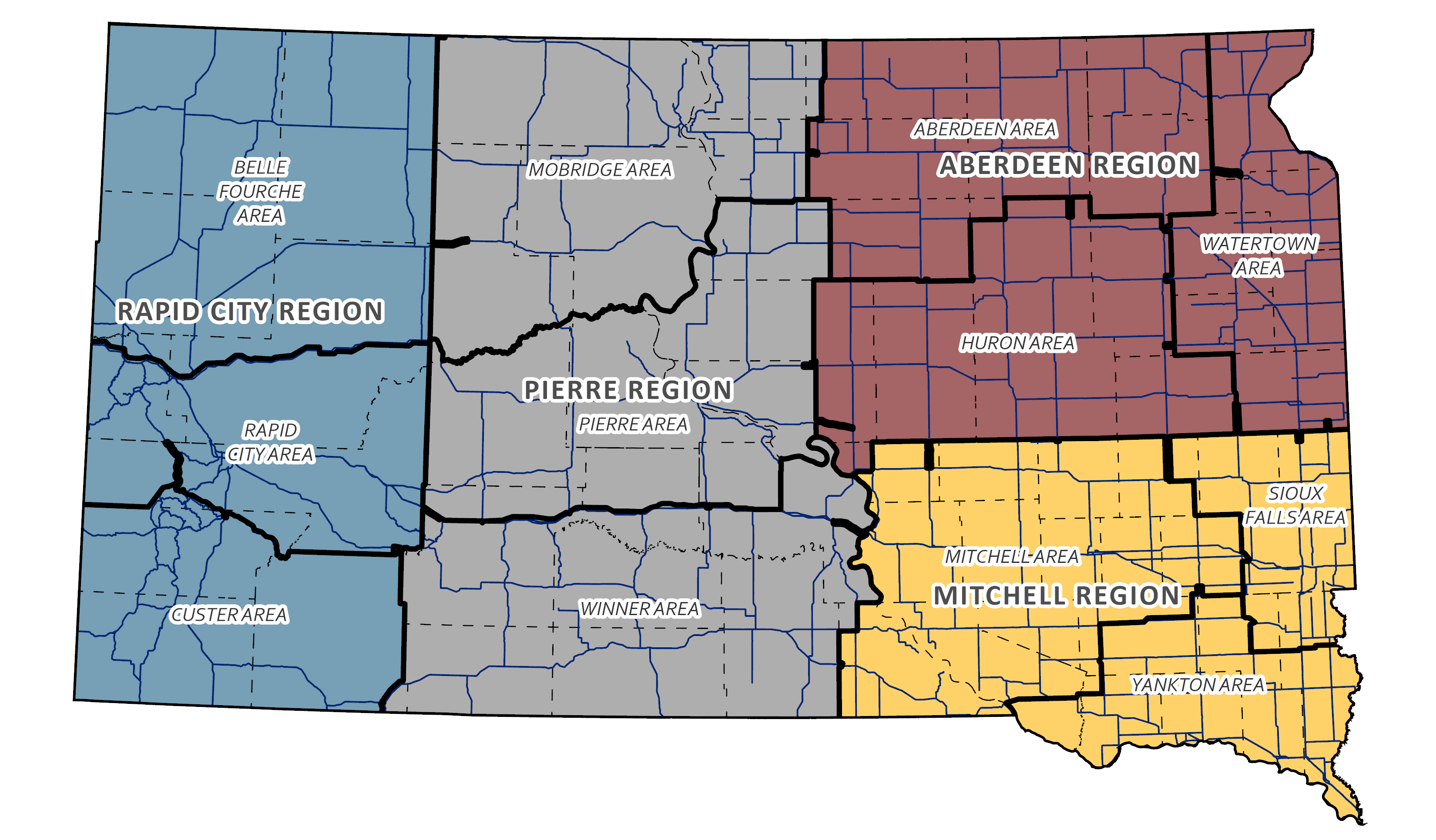
Region & Area Offices
Travelers
© 2026 State of South Dakota. All Rights Reserved.
South Dakota Department of Transportation
Becker-Hansen Building
700 E. Broadway Ave.
Pierre, SD 57501
Becker-Hansen Building
700 E. Broadway Ave.
Pierre, SD 57501
Powered by:
Modern Logic
Modern Logic


