Bicycle/Pedestrian
Statutes governing bicycling in South Dakota
Roadway Characteristics Map
Illustrates highways with narrow widths, gravel shoulders, or rumble strips.
Traffic Flow Map
Shows the volume of car and truck traffic upon state highways.
Statewide Transportation Improvement Program Map (STIP)
Can be used for long-term route planning as the map shows proposed construction projects on state highways during the next 5 years. The projects are subject to change and bicyclists should consult the Highway Construction Map prior to embarking on their trip.
Hard copies of the above referenced map are available upon request by contacting SDDOT below.
SD511.org →
Travel South Dakota
Or call within the United States call toll free:
1-800-S-DAKOTA
Outside of the United States call:
(605) 773-3301
SD Dept. of Game, Fish & Parks, Division of Parks and Recreation →
Mountain biking and hiking are popular activities in South Dakota:
Black Hills National Forest website →
Mike Bentley's Bicycle Links - trails, bicycle dealers, etc. →
Contact
© 2026 State of South Dakota. All Rights Reserved.
Becker-Hansen Building
700 E. Broadway Ave.
Pierre, SD 57501
Modern Logic
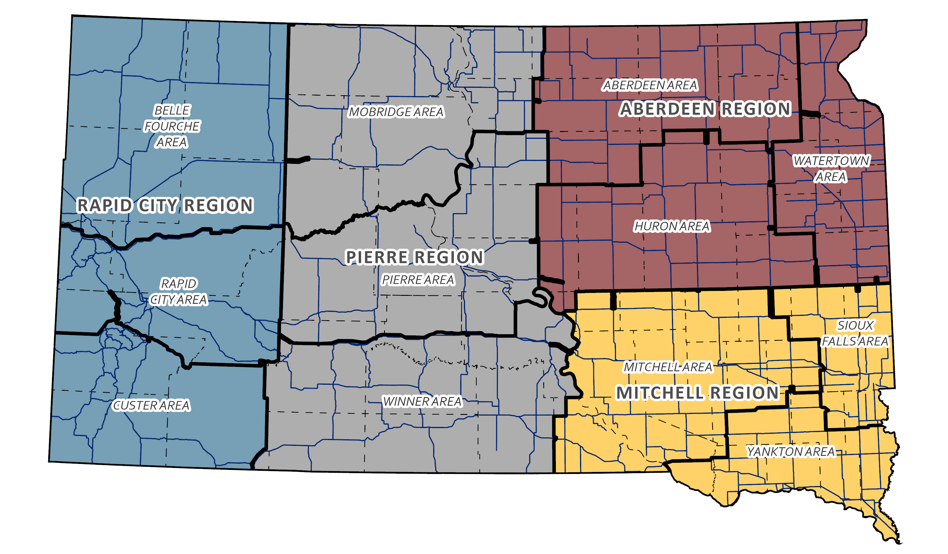
Region & Area Offices
Travelers
© 2026 State of South Dakota. All Rights Reserved.
Becker-Hansen Building
700 E. Broadway Ave.
Pierre, SD 57501
Modern Logic


